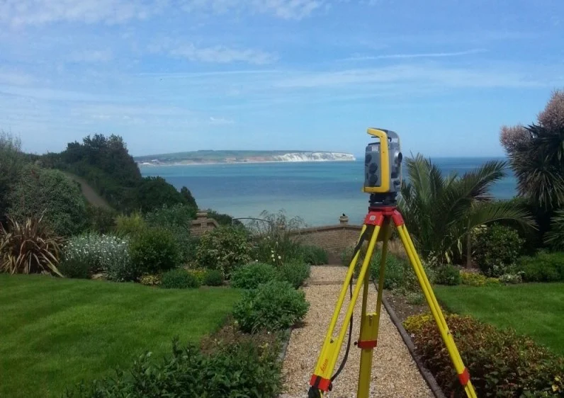
GPS surveying uses satellite-based positioning technology to determine precise locations and coordinates on the ground. It is commonly used for large sites, boundary work and control networks, providing fast, accurate data across wide areas.
Our Expertise
GPS Surveying
By using satellite systems, we can provide you with accurate and reliable GPS data. This can be provided to you in either WGS84 (global coordinates) or in local grid (UK being OSGB36 coordinates).
With the emergence of the OS Active Survey Network and the ease at which GPS surveying is progressing, GPS height data may be the easiest method to attain height control into a required site. Whereas before, this could have been done from benchmarks, these now are on the decline.
We can provide the following services using GPS techniques:
We provide professional land surveying services built on accuracy, clear communication and dependable results.
Precision and Experience
Our surveys are completed using advanced technology and industry expertise, allowing us to deliver accurate and detailed results suitable for planning, design and construction.
Clear and Competitive Pricing
We provide straightforward quotations and transparent pricing, ensuring clients receive professional surveying services that offer genuine value without compromising quality.
Trusted by world-class business and organisations of all sizes
Need more Advice?
Get Advice on Your Survey Requirements
If you require further information or would like to discuss your survey requirements, please feel free to contact us. We’re happy to offer clear advice and help you identify the most suitable surveying solution for your project.
We use cookies to ensure that we give you the best experience on our website. If you continue to use this site we will assume that you are happy with it.