- Home
- / Services
- / WGS84 Airport Surveys
/ˌdʌb.əl.juː.dʒiːˈes eɪ.tiː ˈfɔː.ti fɔː ˈeə.pɔːt ˈsɜː.veɪz/
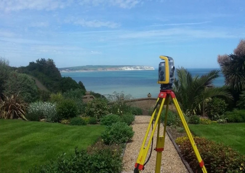
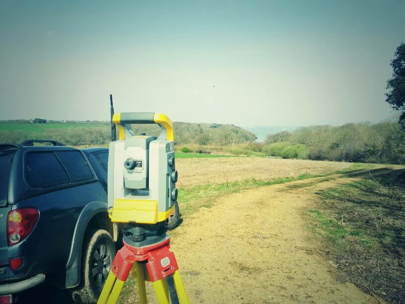
WGS84 airport surveys are specialised surveys carried out to meet international aviation standards. They provide precise positional data referenced to the WGS84 global coordinate system, ensuring accurate mapping of runways, obstacles and airport infrastructure for safety, navigation and regulatory compliance.
Our Expertise
WGS84 Airport Surveys
An Airport Survey is to accurately identify:
- Runways
- Parking stands
- Hold points
- Taxi lines
- Navigation aids
- Any obstacles penetrating the obstacle limitation surfaces
- Create an airport control network
All the above are complient of ICAO directives.
All the information on the survey will be provided in the form of a fully comprhensive report and both hard and soft copy mapping.
All co-ordinates will be given in both WGS84 format (ITRF94 height), and a local datum. All co-ordinates are related to the airport control network.
Such surveys have been carried out by James Reid in at least 50 airports throughout the world.
Any airport can be surveyed no matter what the situation is of the surrounding area and country.
Why Choose Us
Accurate Surveys. Reliable Service.
We provide professional land surveying services built on accuracy, clear communication and dependable results.
Our surveys are completed using advanced technology and industry expertise, allowing us to deliver accurate and detailed results suitable for planning, design and construction.
We provide straightforward quotations and transparent pricing, ensuring clients receive professional surveying services that offer genuine value without compromising quality.

Trusted by world-class business and organisations of all sizes