- Home
- / Services
- / Measured Building Surveys
/ˈmeʒ.əd ˈbɪl.dɪŋ ˈsɜː.veɪz/
A measured building survey is a detailed survey that records the layout, dimensions and structural features of a building. It provides accurate plans, elevations and sections, allowing architects, designers and engineers to work from precise, reliable information when planning alterations, refurbishments or new developments.
Why Laser Scanning Leads the Process
Laser scanning is the primary method for measured building surveys because it offers:
High accuracy across complex or irregular spaces
Minimal disruption to building users
Comprehensive coverage that reduces the need for return visits
A permanent digital record that can be revisited for future design stages
This combination of precision, efficiency, and flexibility ensures your measured building survey is both dependable and future‑proof.
Our Expertise
Measured Building Surveys
Measured building surveys provide an accurate, scalable record of a building’s internal and external geometry, giving designers, architects, and contractors the reliable information they need to plan alterations, refurbishments, extensions, or compliance work. These surveys can be delivered at basic or detailed levels depending on the project’s requirements, ensuring you only receive the level of information you actually need.
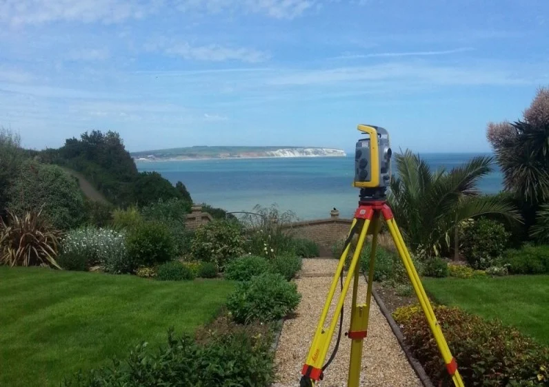
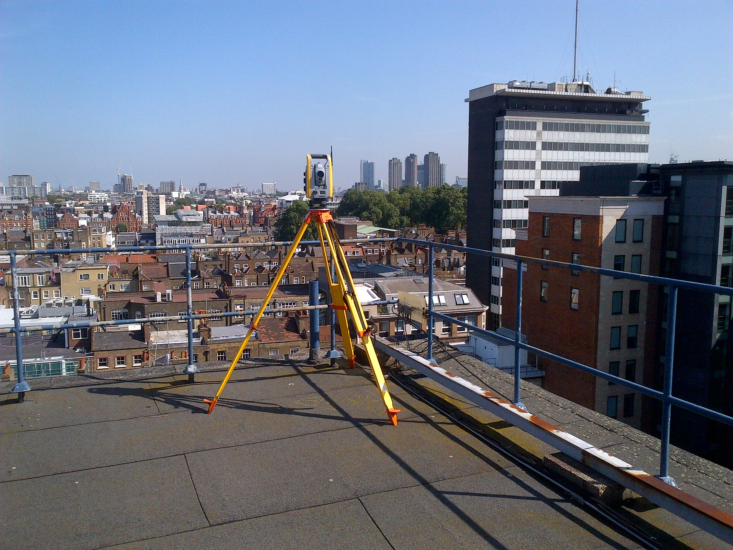
Our workflow is built around a Trimble‑based surveying and processing ecosystem, using Trimble total stations, Trimble GNSS, and—most importantly—Trimble laser scanners. Laser scanning allows us to capture high‑density point clouds with minimal disruption to occupants or operations, making it ideal for busy, sensitive, or fully occupied buildings. This approach ensures exceptional accuracy while reducing time on site.
Processing is carried out using Trimble Business Center, Trimble RealWorks, and BricsCAD, allowing us to convert raw scan data into clean, reliable drawings and models. Final outputs are supplied in DWG, DXF, and PDF formats as standard.
What We Deliver
Measured building surveys can be tailored to suit the level of detail your project demands:
- Floor Plans (Basic or Detailed) — showing walls, openings, structural elements, fixtures, floor levels, and key internal features.
- Elevations (Basic or Detailed) — capturing façade geometry, openings, architectural details, materials, and structural lines.
- Cross Sections (Basic or Detailed) — cut at any location within the building, positioned entirely at the client’s discretion to highlight specific structural or architectural features.
- Reflected Ceiling – showing the reflected ceiling details, like false ceiling tiles, lighting, sensors and alarm systems
- High‑resolution point clouds — available for clients who wish to undertake their own modelling or analysis.
- 3D models — available on request for BIM workflows or complex design requirements.
Why Choose Us
Accurate Surveys. Reliable Service.
We provide professional land surveying services built on accuracy, clear communication and dependable results.
Our surveys are completed using advanced technology and industry expertise, allowing us to deliver accurate and detailed results suitable for planning, design and construction.
We provide straightforward quotations and transparent pricing, ensuring clients receive professional surveying services that offer genuine value without compromising quality.

Trusted by world-class business and organisations of all sizes