- Home
- / Services
- / Topographic Surveys
/ˌtɒp.əˈɡræf.ɪk ˈsɜː.veɪ/
A topographic survey is a detailed measurement of a site that records the location, height and shape of natural and man-made features. It provides accurate data showing ground levels, buildings, boundaries, services and terrain, typically used to support planning, design and construction projects.
Our Expertise
Topographic Surveys
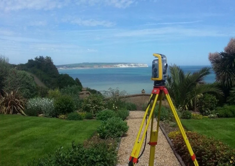
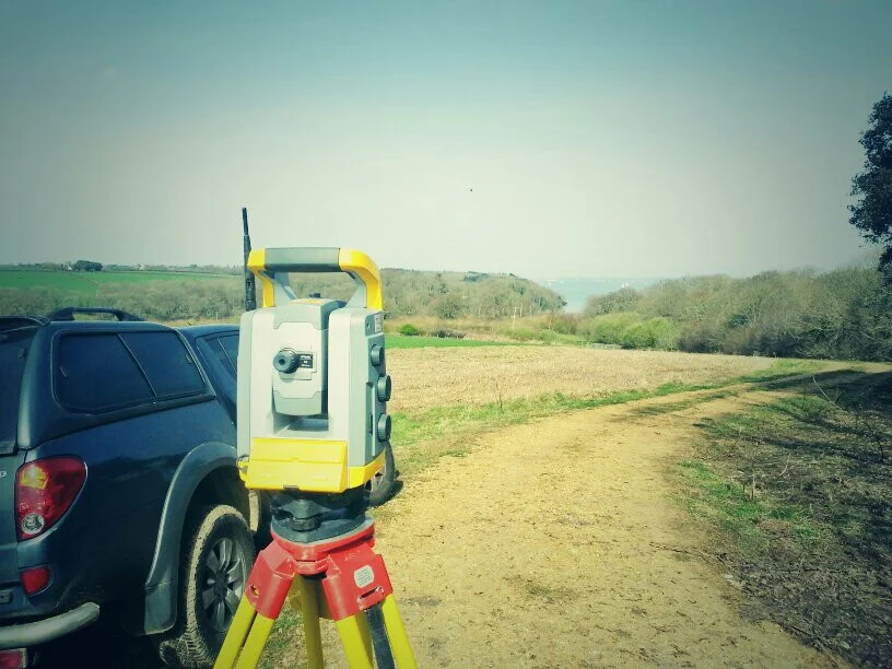
Topographic surveys form the foundation of effective design and planning, providing a detailed and accurate representation of existing site conditions. Our team captures the full picture of a site’s terrain, features, and constraints so architects, engineers, and contractors can make informed decisions from day one.
We use a fully integrated Trimble surveying workflow to ensure precision, consistency, and efficiency across every project. By combining Trimble total stations, Trimble GNSS, and Trimble laser scanners, we collect high‑density, high‑accuracy data suitable for everything from small development plots to large, complex infrastructure sites. This multi‑sensor approach allows us to work confidently in open environments, built‑up areas, and challenging terrain.
Our processing and drafting workflow is built around industry‑leading software, including Trimble Business Center, Trimble RealWorks, and BricsCAD. This ensures clean, reliable datasets and professional outputs that integrate seamlessly with your design environment. Final deliverables are supplied in DWG, DXF, and PDF formats as standard, with additional formats available on request.
Typical outputs include:
- Detailed topographic plans showing levels, contours, boundaries, and surface features. We are also able to provide topographic plans in either 2 or 3d.
- Utility mapping from visible utilities. Utility information can be overlayed onto our drawings if provided by the client and it is in a format which can be used.
- High‑resolution point clouds for complex structures or hard‑to‑measure areas
- Digital terrain models for design, cut‑fill analysis, and earthworks planning
- Elevation, section, and detail drawings tailored to project requirements
Why Choose Us
Accurate Surveys. Reliable Service.
We provide professional land surveying services built on accuracy, clear communication and dependable results.
Our surveys are completed using advanced technology and industry expertise, allowing us to deliver accurate and detailed results suitable for planning, design and construction.
We provide straightforward quotations and transparent pricing, ensuring clients receive professional surveying services that offer genuine value without compromising quality.

Trusted by world-class business and organisations of all sizes